Fishers Peak Fire Protection District's Smoke Spotting Class
Fishers Peak Fire Protection District's Smoke Spotting Class
Fishers Peak Fire Protection District's Smoke Spotting Class
Fisher Peak Fire Protection District’s Smoke Spotting Class
On April 23, 2022, the Forest Health and Wildfire Mitigation Committee (FHWMC) collaborated with the Fisher’s Peak Fire Protection District (FPFPD) to host a smoke spotting class. This class, open to residents from both Santa Fe Trail Ranch and neighboring Trinidad Lake Estates, taught participants how to identify and report smoke. At the end of the class, participants asked the presenters general fire questions and then enjoyed a tour of the fire station. The FPFPD provided a drone flying demonstration and allowed folks to view the live footage from inside their new mobile drone command center. Since fires do not adhere to boundaries, one of the benefits of this class was to initiate collaboration between the two ranches in a variety of areas including, but not limited to, smoke spotting, training opportunities, mitigation efforts, and possible evacuation routes between the neighborhoods.
To view a video of the classroom portion of the presentation, please visit https://www.youtube.com/watch?v=eDFVcbSB4hk.
Smoke Spotting Class Notes
Background:
Smoke spotting from towers used to be the standard way to monitor for fires, but technology has evolved. Today fire fighters rely more on satellite imagery to detect smoke, and aircraft with heat sensors to detect fires.
Although there are numerous causes of fires (cigarettes, campfires, sparks etc.) lightning is the most common natural cause. Lightning strikes can ignite fires that smolder for days or even weeks, undetected, before evolving into a detectable fire. Therefore, after a lightning storm it is advised that residents look for smoke. There are several lightning strike apps available that show exactly where lightening has struck which is very helpful when monitoring an area for smoke.
When looking for smoke, it is important to understand the impacts of an inversion layer. An inversion layer occurs when a higher layer of warm air caps cooler air beneath it. This often causes smoke to become trapped at the bottom of valleys. An inversion layer may help suppress fire activity, but it will dissipate later in the day. Fire activity is usually greatest between 10:00 and 2:00 p.m.
Reporting Smoke:
If you see a column of smoke lasting more than two full minutes, call 911.
It is important to note the “smoke” color and behavior.
• Dark thick colored smoke is often emitted from a vehicle (e.g., tractor or catalytic converter). It will be very dark and will disappear quickly.
• Yellowish “smoke” that expands fast, then disappears fast, and has horizontal movement it is probably dust from a moving vehicle on a dirt road or a wind generated dust cloud. If it is slow moving with a wide base it may be from a large moving herd of livestock.
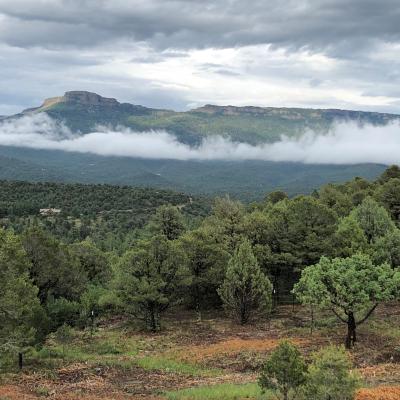
• Whitish “smoke” with thin edges that floats then dissipates is possibly water vapor. Often called water dogs, this phenomenon can often be seen over Fisher’s Peak in the early morning.
When reporting smoke, it is very helpful to use landmarks (e.g., roads, known trails, rivers, lakes, ridges, canyons, old burn scars etc.) as a visual reference. If possible, use a handheld compass or a smart phone compass, to determine the direction of the smoke. Many of these devices will also show your exact GPS location. Note: When using a compass be sure to move about 50 ft away from vehicles and metal buildings. All of this information, along with your name, current location, and contact information, should be provided to the 911 dispatcher. If possible, take some photos of the smoke column with landmarks in the frame. This can help fire fighters pinpoint the location.
The FPFPD has a new drone that is flown by a commercial operator. The drone has infrared capabilities that can rapidly detect heat and guide fire fighters on the ground to the location of the fire. It is important to make sure that no one interferes with the drone during a fire. If a civilian is drone is detected in the vicinity of the fire, all official drones and aerial firefighting efforts will be immediately grounded. This can have devastating impacts on fire suppression efforts and fire fighter safety.
Other Resources:
• Reverse 911
It is important to sign up for Reverse 911 so that you receive an alert if there is a fire in the area. In New Mexico they use the “Ready-Set-Go” method for evacuation orders. Colorado utilizes the “Pre-evacuation-Evacuation” method. The Reverse 911 will override any “Do Not Disturb” phone settings. Go to the Las Animas County Website to register. Community Notification Enrollment (coderedweb.com)
• Fire Weather & Avalanche: fireweatheravalanche.org/fire/state/colorado
• INCI Web: InciWeb the Incident Information System (nwcg.gov)

